From information to situational awareness
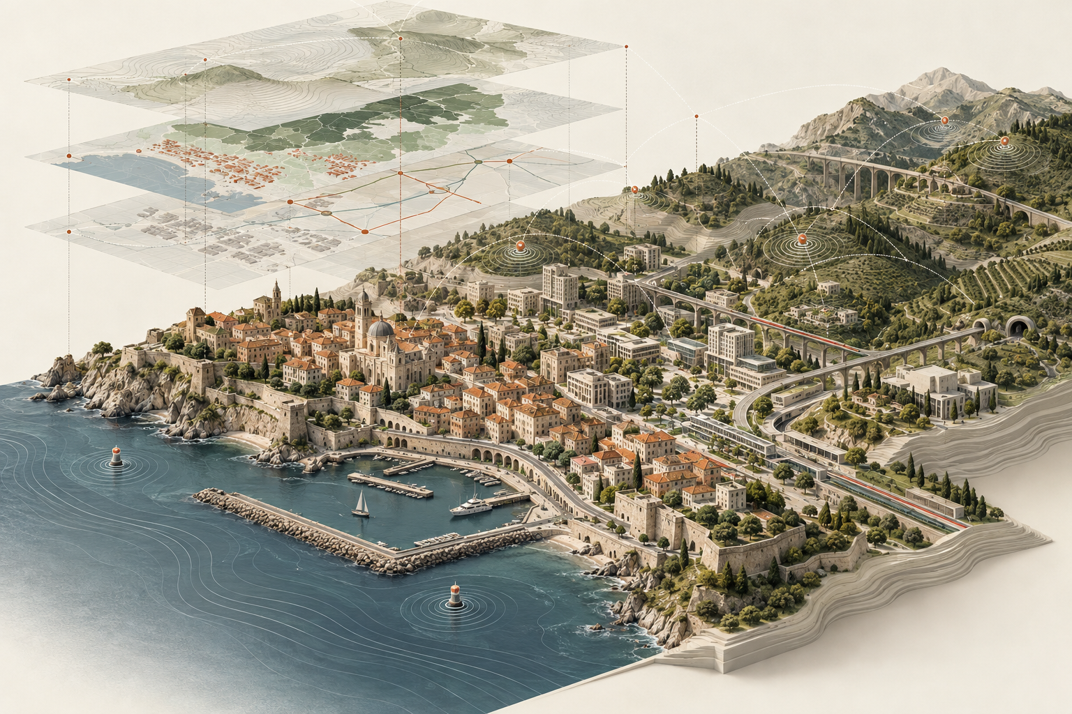
A map becomes useful when it connects an event with its surroundings: nearby infrastructure, transport networks and other observations. Bringing these sources together was the focus of my geospatial collaboration with Leonardo on X2030.
Leonardo describes X2030 as a platform for command, control and situational awareness, bringing information from different sources into a shared operational picture. Its applications include territorial resilience and emergency management. Leonardo also describes its potential for cultural heritage protection, where understanding a site requires information about both the asset and its environment. See Leonardo’s articles on situational awareness and cultural heritage protection.
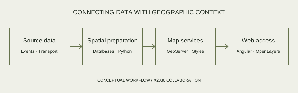
The platform’s GIS provides a geographic context for this information. My contribution focused on components for preparing spatial data, configuring its publication through map services and exploring access through a web interface.
Castel Fusano: an application example
In an interview published by Leonardo in March 2021, Castel Fusano was presented as a testing area for X2030, bringing together information on public safety, fires and hydrogeological risks. The approach builds on existing systems, connecting databases, sensors and satellite observations in a shared geographic picture to support decisions. See Leonardo’s article on its City Management System.
The same landscape is explored in my article on wildfire and vegetation recovery in Castel Fusano. That satellite analysis provides a separate perspective on environmental change in the area.
My contribution: connecting data and maps
The work spans Python services, spatial databases, GeoServer configuration and a web mapping prototype. Each component addresses part of the path from a source dataset to information that can be accessed geographically.
Earthquake observations from INGV
The earthquake component works with observations from Italy’s National Institute of Geophysics and Volcanology (INGV). It includes querying the event service, transforming responses into tabular and geospatial data, and loading the results into PostgreSQL/PostGIS.
The associated map-service configuration includes time-based views and earthquake styles. These components connect event records with their locations so that seismic observations can be explored in a geographic context.
Transport layers using GTFS
A separate configurator works with General Transit Feed Specification (GTFS) data stored in PostGIS. Its GeoServer configuration includes database connections, SQL views and cartographic styles for transport layers.
This work makes transport information available through the same geospatial service environment as other datasets. Such layers can provide useful context when examining the relationship between an event and the surrounding transport network.
Database and map-service configuration
The collaboration configurators automate recurring GIS setup tasks: creating spatial database structures, configuring GeoServer workspaces and data stores, and associating styles with published layers. Related integration work brings together database preparation and map-service management.
A MongoDB component extends this approach to document-based data, with configuration for GeoServer data stores and collection publication. Together, these components address the practical work of making different data sources available through a consistent mapping environment.
A web mapping prototype
I also explored a browser interface using Angular and OpenLayers. The prototype includes an interactive basemap and a service interface for retrieving GeoServer layer lists, including lists associated with a selected user.
This prototype explores the connection between service configuration and browser access. Its public repository provides an example of this part of the work.
A geospatial perspective on resilience
This collaboration connects with a recurring theme in my work: understanding buildings and infrastructure in relation to the wider territory. Earthquake observations describe events; transport layers describe networks; spatial services make those datasets accessible in a common geographic setting.
Building that connection involves more than displaying points on a map. It requires data preparation, database organisation, service configuration and a clear path to the interface. My work on these components contributed to the geospatial foundations of the collaboration.
Further reading
- Leonardo: City Management System and Castel Fusano — application context, March 2021.
- Leonardo: situational awareness and X2030 — platform context, published in August 2021.
- Leonardo: X2030 and cultural heritage protection — application context, published in October 2022.
- Leonardo, X2030: nuove sale di controllo versatili ed innovative, brochure MM09077, November 2022 — background on the platform’s GIS and integration layers.