BUILDINGS / AI
Building stock, made accessible
Connecting building data with conversational AI for urban analysis and decarbonisation.
FABIO LANA / ARCHITECT & GEOSPATIAL CONSULTANT
Architecture, spatial analysis and AI to inform decisions about buildings, infrastructure and a changing climate.
Design for Resilience · From building to territory
SELECTED WORK
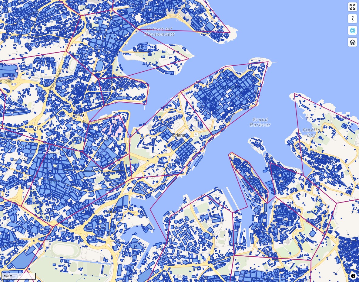
BUILDINGS / AI
Connecting building data with conversational AI for urban analysis and decarbonisation.
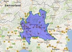
INFRASTRUCTURE / RISK
Geospatial assessment of critical infrastructure and the risks that connect it.
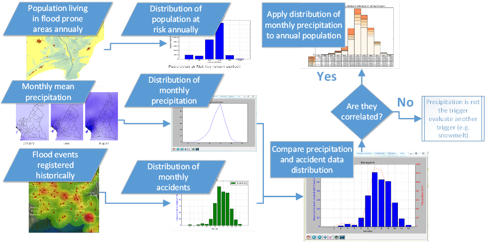
CLIMATE / PREPAREDNESS
Combining hazard exposure and population vulnerability to support emergency preparedness.
HOW I CAN HELP
Analyse building stock, accessibility and urban heat to inform planning and investment.
Map hazards, exposure and environmental change to support adaptation and preparedness.
Connect spatial databases, APIs and analytical tools with accessible decision workflows.