Study area
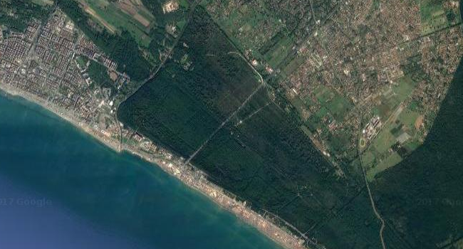
Castel Fusano is a protected pine forest near Ostia, southeast of the mouth of the Tiber. The park covers approximately 916 hectares and forms part of the Roman Coast Nature Reserve. Its landscape connects coastal woodland with the archaeological history of the area, including the ancient Via Severiana.
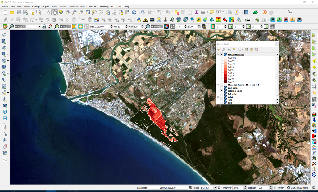
The forest has experienced repeated fires, including incidents attributed to arson. This study examines satellite imagery to explore the effects of fire and subsequent vegetation recovery.
The forest contains pines and oaks, with Mediterranean undergrowth including juniper, strawberry trees, mastic, holly, privet, hawthorn and myrtle. It provides habitat for birds, reptiles and mammals.
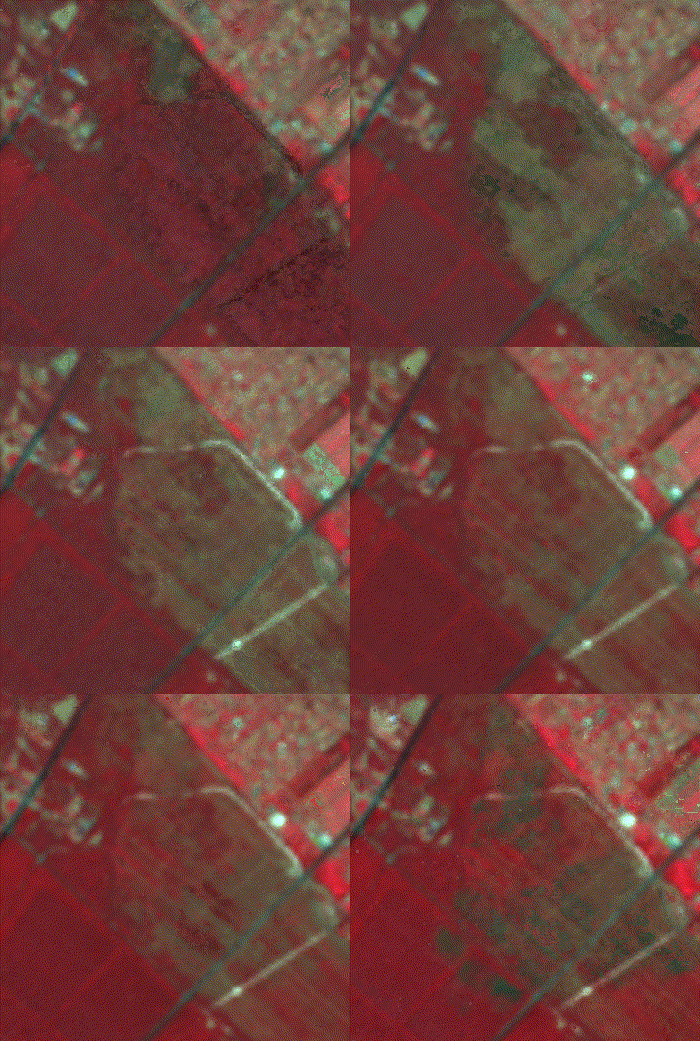
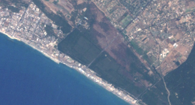
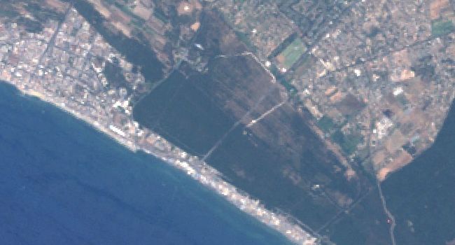
On 4 July 2000, a fire affected approximately 300–350 hectares of pine forest and Mediterranean vegetation, with around 280 hectares completely destroyed. The imagery used in this study illustrates the fire-affected landscape and signs of vegetation recovery in later years.
I retrieved the imagery through Google Earth Engine and developed the analysis in its web-based code editor. Earth Engine processes satellite imagery on Google’s server infrastructure, allowing large datasets to be analysed without downloading them locally.
Working with Earth Engine requires a distinction between server-side data objects and client-side operations. In this project, image filtering and calculations were performed on the server.
I chose Landsat imagery for its long historical record and 30-metre spatial resolution, which was suitable for comparing vegetation patterns across the study area.
Selecting the imagery
The following chart explores image availability between 1990 and 2016 using a cloud-cover limit of 55%.
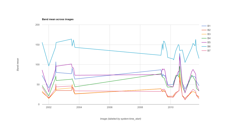
The flat section between 2004 and 2009 requires care when interpreting the series; it should not be treated as evidence that vegetation remained unchanged.
I used a FeatureCollection to organise the spatial features needed for the analysis and selected the Landsat ImageCollections to process.
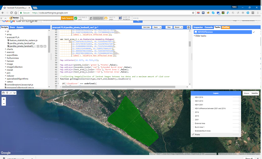
For the vegetation comparison, I filtered the image collections using three criteria:
- Study area: the Castel Fusano reserve, shown by the green polygon.
- Time period: June and July in the selected comparison years, to compare vegetation during similar parts of the growing season.
- Cloud cover: images with less than 10% cloud cover.
The ImageCollection methods filterBounds, filterDate and filterMetadata provide these filters.
Comparing vegetation recovery
I compared two test areas: one heavily affected by the fire and another largely unaffected. They are shown in blue and red below.
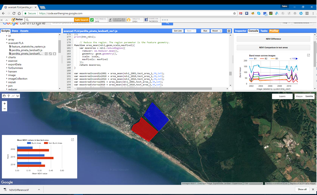
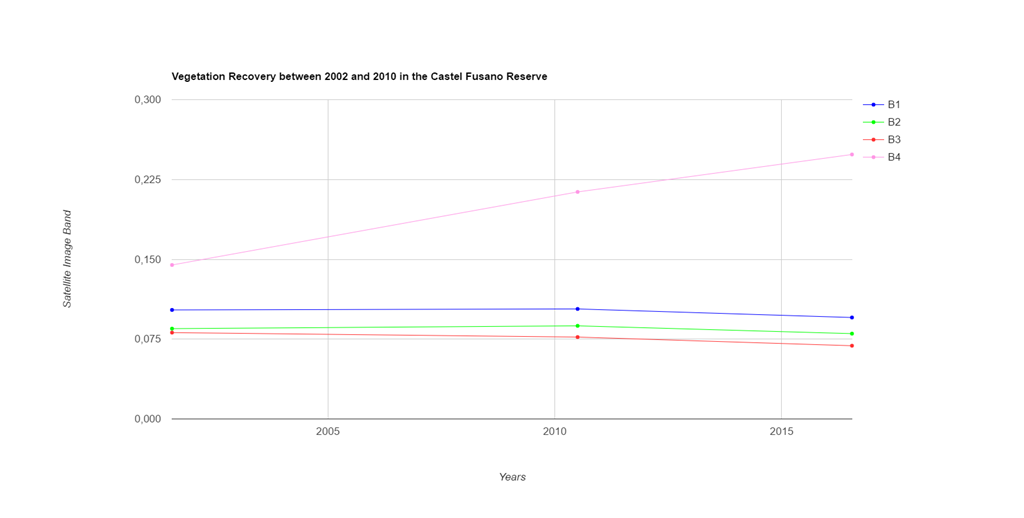
The comparison uses the Normalised Difference Vegetation Index (NDVI). Mean values for each test area provide a way to track differences in vegetation between the fire-affected area and the reference area.
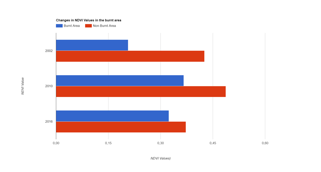
The chart compares mean NDVI values for 2001, 2010 and 2016. The difference between the two areas decreases over this period, suggesting vegetation recovery in the fire-affected area.
To estimate vegetated area, I classified pixels with an NDVI of at least 0.45 as vegetation. Counting these pixels within the analysis boundary provides an estimate of vegetation extent under this chosen threshold.