WATER / INFRASTRUCTURE / PUBLIC INFORMATION
Knowing the network before improving the service.
Tegucigalpa wastewater
THE CHALLENGE
Scarce information, scattered across sources.
Infrastructure planning depends on knowing what exists and where it is. In settings where records are scarce, fragmented or held in different formats, assembling a reliable picture of water and wastewater systems is a necessary first step toward improving public services.
MY CONTRIBUTION
Creating a coherent spatial information base.
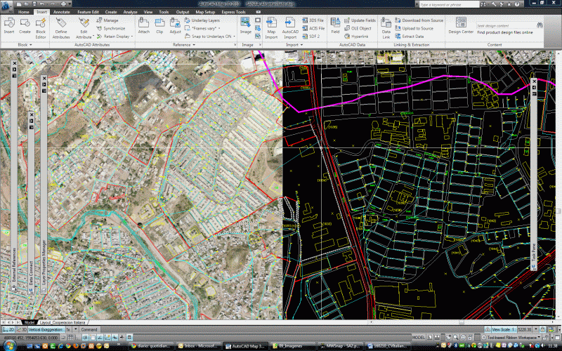
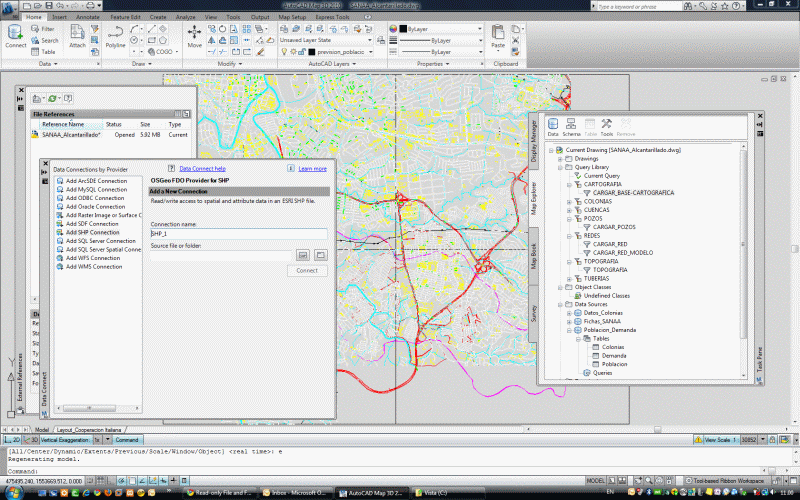
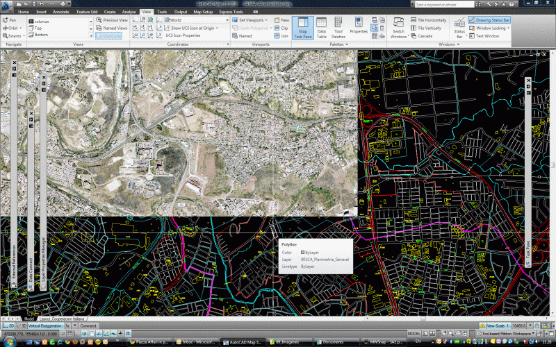
My contribution centred on a geospatial platform to collect, harmonise and make infrastructure information publicly available. The conception of the platform addressed the information problem first: bringing scattered records into a shared geographic framework.
THE APPROACH
From separate records to a shared view.
The approach connects infrastructure records with their locations and makes them available through a common platform. This gives subsequent planning and service-improvement work a more coherent information base.
PURPOSE & USE
Information that supports service planning.
The platform was intended to improve access to infrastructure information and give subsequent engineering analysis, investment planning and service-improvement work a coherent starting point.
PROJECT VIEWS
RELATED WORK
Have a similar information challenge?
Discuss the territory, the available records and the decisions your project needs to support.
Discuss your project ↗