URBAN FLOODING / DRAINAGE / SPATIAL INFORMATION
Understanding drainage to support flood safety.
San Salvador stormwater
THE CHALLENGE
Urban flooding and incomplete network knowledge.
San Salvador faces heavy urban flooding associated with insufficient stormwater infrastructure. Understanding the drainage system—its location, connections and available records—is fundamental to planning interventions that help keep people safe.
MY CONTRIBUTION
Organising the information needed to understand the system.
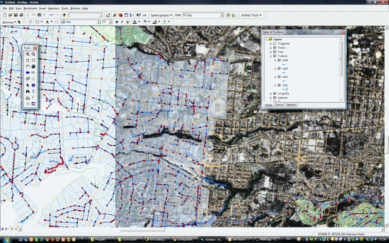
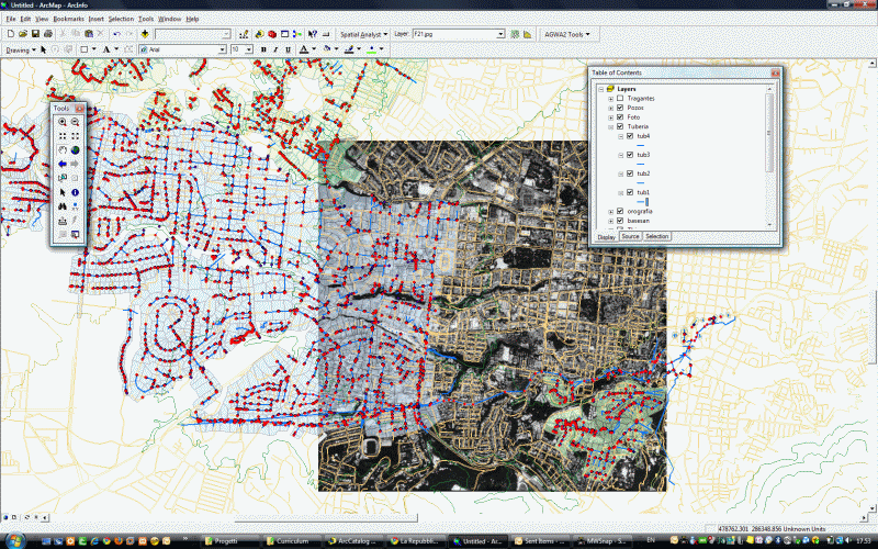
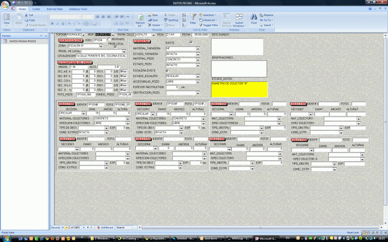
My contribution centred on a geospatial platform to collect, harmonise and make stormwater infrastructure information publicly available. The aim was to turn scarce and scattered records into a coherent view of the drainage system.
THE APPROACH
Connecting infrastructure information with flood planning.
A common geographic framework makes it possible to examine the network in its urban context. The project material describes the assessment of drainage conditions in critical zones and the identification of priority measures for subsequent detailed design.
PURPOSE & USE
A foundation for better-informed interventions.
The platform was intended to support drainage planning and flood-risk management through better information, helping planners understand the existing system and identify where interventions were needed.
PROJECT VIEWS
RELATED WORK
Have a similar information challenge?
Discuss the territory, the available records and the decisions your project needs to support.
Discuss your project ↗