INFRASTRUCTURE / HAZARDS / RESILIENCE
Understanding risk.
Connecting infrastructure.
A geospatial platform for investigating hazards, vulnerability and interdependencies across critical infrastructure.
THE QUESTION
GRRASP
Infrastructure networks cross administrative boundaries and depend on one another. Understanding the impact of a disruption requires bringing hazards, assets and network relationships into a common spatial view.
MY CONTRIBUTION
Conceiving the system and its methodology.
I conceived and designed the whole GRRASP system and its risk-assessment methodology. Working largely independently, I defined how infrastructure information, hazards, vulnerability and analytical scenarios would fit together in a coherent decision-support system.
My role spanned the overall concept, methodological design and translation of that framework into a working platform for investigating critical infrastructure risk.
THE APPROACH
From information to analysis.
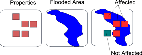
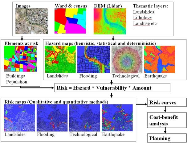
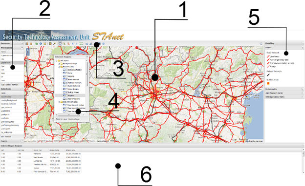
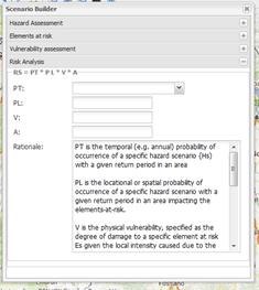
The platform combines infrastructure inventories with hazard information and vulnerability indicators. Scenario-building tools support spatial selection, filtering and multi-criteria evaluation.
ANALYTICAL OUTPUTS
Geospatial platform
A shared spatial view of infrastructure and hazard information.
Risk scenarios
Tools for investigating exposure and potential damage under defined scenarios.
Visual analysis
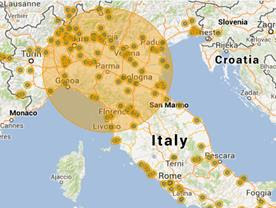
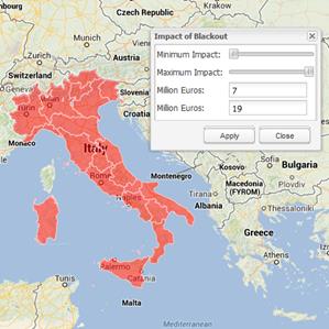
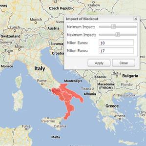
Maps and filters for examining the geographic extent of impacts.
PRACTICAL USE
Supporting informed decisions.
Support expert investigation of infrastructure risk and mitigation scenarios. Results depend on data availability, vulnerability assumptions and the selected hazard scenario; they are decision inputs rather than guaranteed forecasts.
RELATED WORK
Have a similar question?
Discuss your data, geographic scope and the decision you need to support.
Discuss your project ↗